The next big earthquake near Istanbul may not be a mystery of timing so much as a map problem: scientists are finally beginning to see where the fault is weakest and where stress is likely to snap.
Deep beneath the Marmara Sea, researchers have used the Earth's electromagnetic whispers to chart variations in rock strength that seismic waves alone could not resolve. The result is the first full three-dimensional resistivity model of the crust beneath this stretch of the North Anatolian Fault, and it reveals a patchwork of weaker, fluid-rich zones next to more rigid, locked blocks — the kinds of boundaries where rupture is most likely to begin.

Deep beneath the Marmara Sea, the crust may already be organizing itself for a future earthquake. Using electromagnetic signals rather than seismic waves, researchers uncovered hidden variations in the fault that hint at where stress may be concentrating.
Seeing the unseen with magnetotellurics
Magnetotelluric surveys listen to subtle fluctuations in Earth's magnetic and electric fields caused by currents moving through the subsurface. These signals carry information about electrical resistivity, which changes with fluid content, temperature and rock composition. Low resistivity usually points to fluids or altered, weakened rocks; high resistivity typically marks colder, more intact and more strongly locked crust.
A team led by Dr. Yasuo Ogawa at Institute of Science Tokyo, working with colleagues in Türkiye including Dr. Tülay Kaya-Eken at Boğaziçi University, compiled data from more than 20 magnetotelluric stations across the Marmara Sea. Using 3D inversion techniques, they converted those electromagnetic patterns into a volumetric map of resistivity reaching tens of kilometers beneath the seafloor — the first of its kind for this critical segment of the North Anatolian Fault.
What the model reveals and why it matters
The model exposes contrasts. Pockets of low resistivity sit beside streaks of high resistivity. Where those contrasts meet, the crust’s behavior changes: fluids can lubricate faults and promote slip, while adjacent locked blocks can store strain until it is released suddenly. The researchers interpret those boundaries as likely candidates for rupture initiation and for concentrating seismic energy during a large earthquake.
“The patterns we mapped appear to mark where stress accumulates and where rupture could start,” says Dr. Ogawa, summarizing the team’s interpretation. Their work does not predict the exact timing of a quake, but it narrows the geographic possibilities and helps define which fault segments merit the most urgent monitoring and preparedness measures.
This is not only academic. The Marmara segment has not produced a large quake in over 250 years while the rest of the North Anatolian Fault has ruptured progressively westward during the 20th century. That gap raises concern that strain has been building under Istanbul’s doorstep. A 3D resistivity map improves hazard models by offering a physical proxy for which areas might be weak or locked, informing seismic hazard maps, retrofit priorities and early warning strategies.

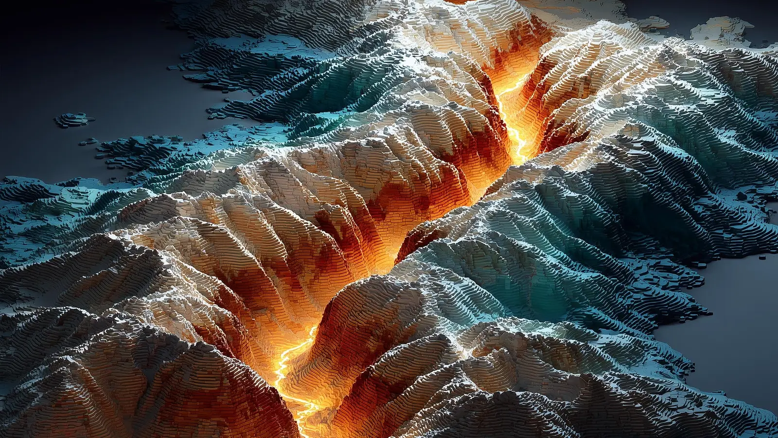
This new three-dimensional (3D) model of resistivity beneath the North Anatolian fault will help earth scientists more accurately identify areas at risk of major earthquakes.
Implications for monitoring and preparedness
More than a cartographic achievement, this model points to specific zones where targetted instrumentation can sharpen forecasts: deploying strainmeters, GPS arrays and ocean-bottom seismometers over the anomalous boundaries will test whether those regions are creeping slowly or holding steady until rupture. It also suggests that integrating electromagnetic imaging with seismic and geodetic data yields a fuller picture of fault mechanics than any method alone.
Technically, the study demonstrates how magnetotellurics and 3D inversion can scale from academic experiments to actionable hazard science. The approach is applicable worldwide wherever fault complexity and fluid distributions control rupture behavior — from subduction zones to transform faults.
Expert Insight
“Electromagnetic imaging gives us a different lens on the fault,” says Dr. Elif Karaca, a geophysicist who was not involved in the study. “Where you have low resistivity next to a strong, resistive block, you have a mechanical contrast that can focus stress. That’s exactly where emergency planners should look next.”
Follow-up studies will refine the 3D model and test its predictions with denser measurements and time-lapse electromagnetic monitoring. The goal is not prophecy but probability: to shrink the uncertainty around where large earthquakes may start and to give communities around the Marmara Sea clearer, science-based priorities for reducing risk.

“My work centers on sustainability, energy, and environmental science — examining how innovation can lead to a greener future.”

Discussion
Leave a Comment