
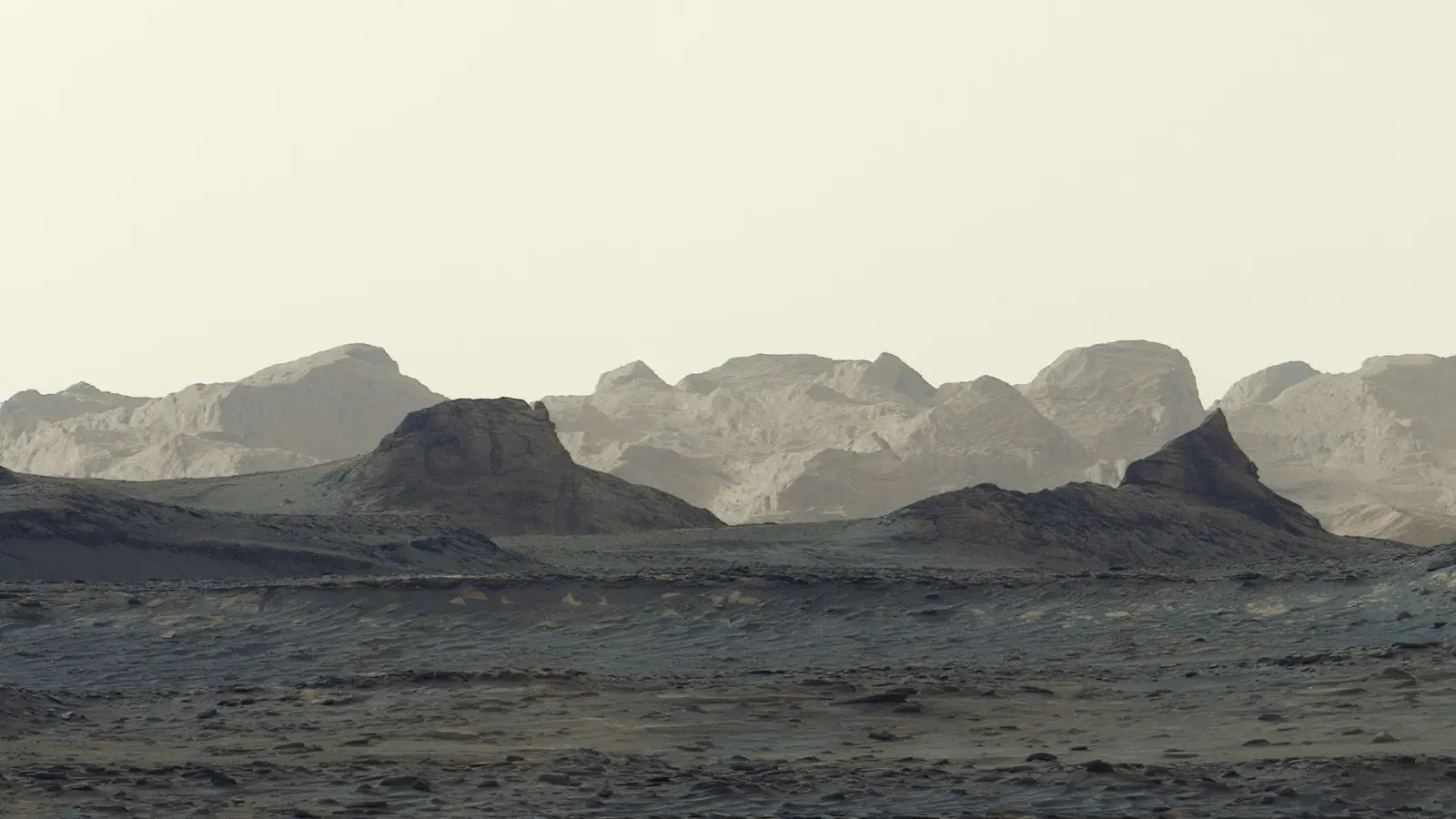
Morning light on Mars can lie. Blue-tinged foregrounds. Pale cliffs in the distance. And a band of wind-sculpted ridges that look stubbornly out of place—like a patchwork on Mount Sharp’s shoulder.
Curiosity’s newest panorama, taken on sol 4,982 of the mission, sharpens our view of a roughly 16-kilometer swath of cliffs and eroded ridges that mission scientists have circled on their maps for years. The formation’s color, its odd tilt, and the way it seems to ride atop older rock layers have made it a geological curiosity since the rover first spotted it from afar.
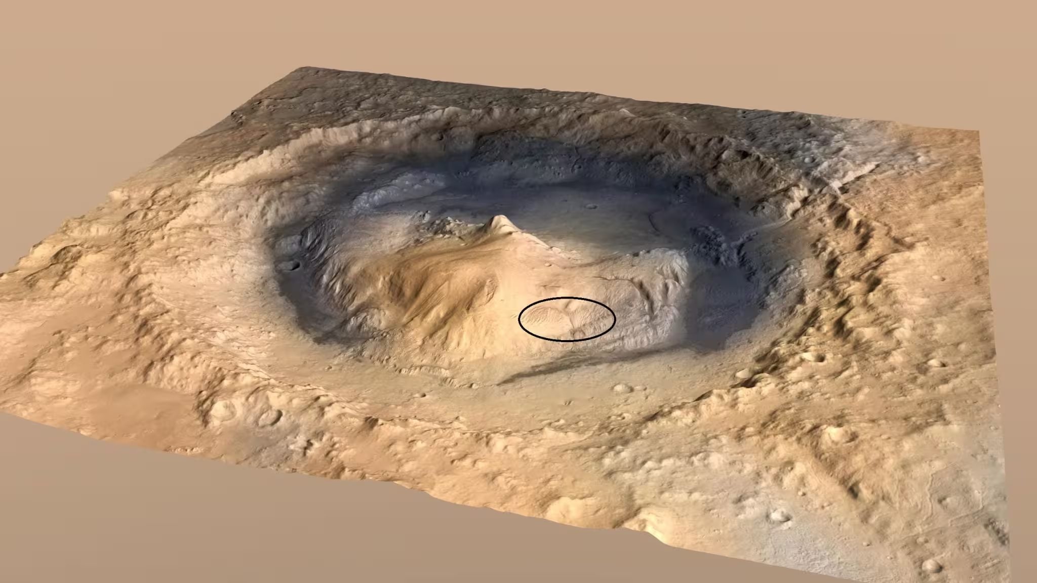
This artist’s concept shows Mount Sharp, the 3-mile-tall (5-kilometer-tall) mountain that NASA’s Curiosity has been ascending since 2014. The location of the yardang layer, which the rover recently captured from a distance, is indicated by an ellipse annotation on the mountain’s northwestern shoulder.
What are yardangs? In simple terms, they are landforms carved by relentless wind. On Earth they appear in deserts where fine-grained, easily eroded material is exposed. On Mars, yardangs can reveal a record of atmosphere, sediment composition, and past climate. The interesting twist here: this yardang layer does not match the surrounding strata. It is a different hue. Its bedding angles are off. It looks almost applied—like a skin over older rocks.
Why scientists think volcanic ash is a leading candidate
Ash fits the mystery. Fine volcanic glass and fragmented rock can settle across a landscape as a relatively uniform blanket. Later, if wind strips the finer particles or cements them in place with salts, the result can be an easily carved, distinct layer. Curiosity’s team has proposed this scenario because the yardang layer’s texture and color match what one might expect from compacted ash or ash mixed with salts.

Curiosity uses Mastcam to photograph scenes with striking fidelity. The six shots that make up this panorama, captured by NASA’s Curiosity on Aug. 11, were stitched together after being sent back to Earth. Unlike most images from the rover’s Mastcam, this one was processed without the usual white balancing — an artistic choice that preserves the early morning appearance.
But ash is not the only option. Wind-blown sediments of varying composition, chemical cementation that favors some beds over others, or even localized depositional events could produce the observed contrasts. Fieldwork on Earth teaches geologists to weigh multiple hypotheses, and that caution guides the Curiosity team as they plan a closer look.
Curiosity’s steady climb and what comes next
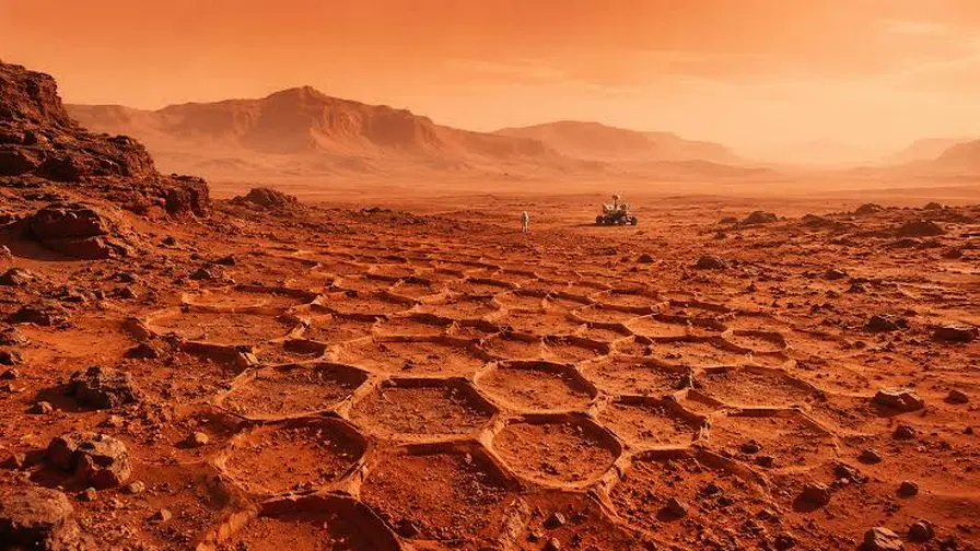
Since 2014 the rover has been ascending Mount Sharp, a central mound inside Gale Crater that is essentially a stacked history book of Martian environments. Each layer preserves a chapter: lakebeds, river deposits, salty evaporites. Curiosity recently hit a symbolic milestone, climbing one kilometer in elevation above the crater floor—the greatest elevation gain any rover has logged on Mars.
Now in the second year of its fifth extended mission, Curiosity is working through beds enriched in sulfates and carbonates. Those minerals signal drying conditions—evaporating lakes and increasingly acidic or saline waters—that followed an earlier, wetter era. As the rover approaches the yardangs, instruments on its robotic arm will be crucial. Wheels may not tell the story, but chemistry and close-up textures will.
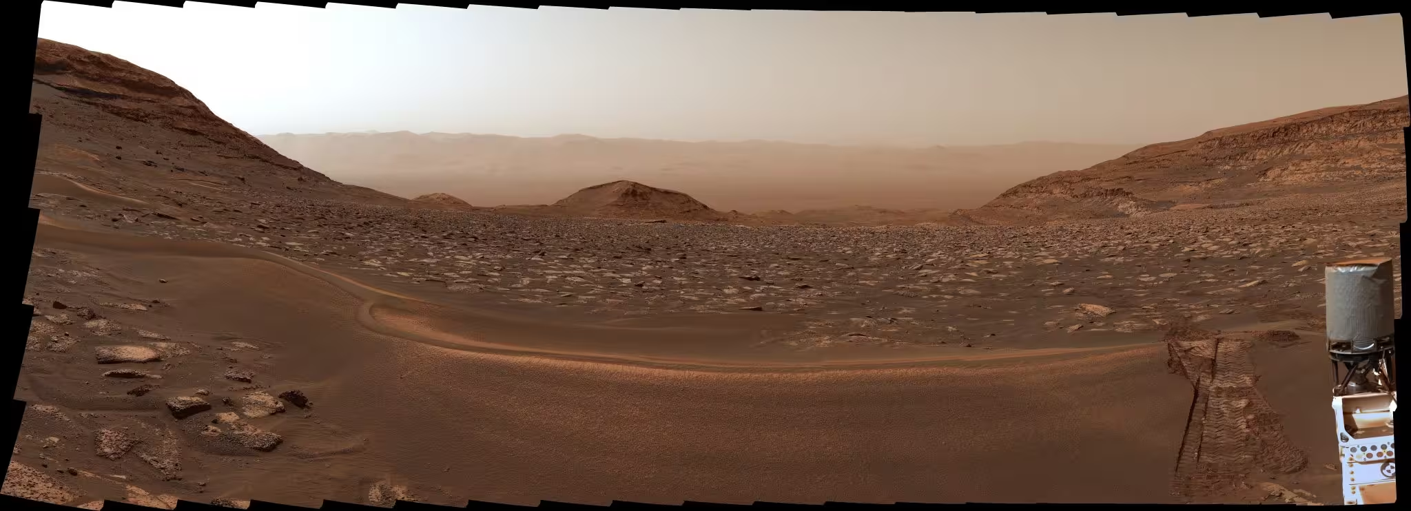
NASA’s Curiosity Mars rover captured this view looking back at the floor of Gale Crater on Sept. 5, 2026. Just nine days prior, the rover had marked 1 kilometer of elevation gain above the crater floor since beginning its ascent of Mount Sharp in 2014.
Why does this matter beyond mapping a curious cliff band? Because the origin of that layer—ash, salt-rich dust, or something else—will change how scientists reconstruct regional volcanic activity, atmospheric density, and the timing of wet-to-dry transitions on early Mars. Each hypothesis carries different implications for how long surface water persisted and how the planet changed from habitable to arid.
Expert Insight
"Reaching these yardangs is like getting a new page from Mars’ geological ledger," says Dr. Lena Morales, a planetary geologist familiar with sedimentary records on both Earth and Mars. "A layer that sits oddly atop others suggests a distinct depositional event—possibly volcanic ash—that later winds reshaped. If Curiosity can sample even trace minerals in that layer, we could pin down the processes that followed the ashfall and learn about wind strength and chemistry across time."
Curiosity is not alone in offering these clues. Complementary observations from orbiters provide thermal and spectral context, while future missions may collect more targeted samples. For now, Curiosity’s approach and eventual investigation at the base of the yardangs will provide the best on-the-ground assessment we have of this enigmatic layer.
Science advances by testing ideas against data. Curiosity’s climb is yielding the images and measurements needed to test whether these yardangs are remnants of ash, altered sediments, or something more complex. Expect more panoramas, closer textures, and, eventually, chemical data that will tip the balance toward one explanation.
Conclusion
The panorama captured at dawn is more than a pretty image. It is an invitation. The yardangs of Mount Sharp are a puzzle about Mars’ volcanic past, wind-driven sculpting, and the planet’s shift from wetter conditions to dry. Curiosity is on the slope, closing the distance. When the rover reaches the base of the cliffs, it will begin the work of turning speculation into measurable science.

“My work centers on sustainability, energy, and environmental science — examining how innovation can lead to a greener future.”

Discussion
Leave a Comment
Comments
No comments yet. Be the first.