
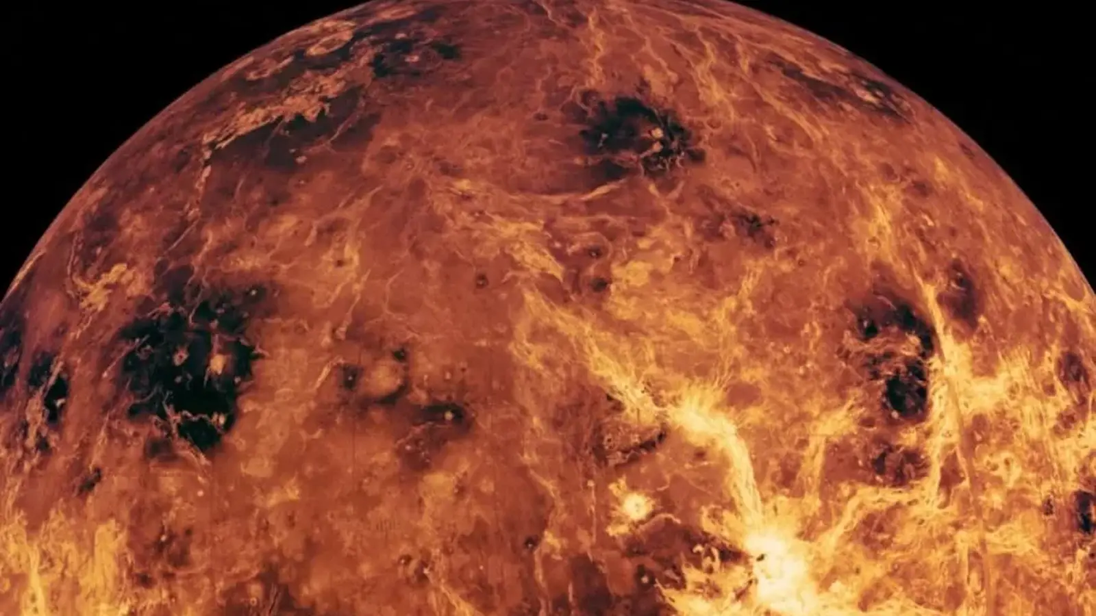
Imagine standing on a shoreline beneath a choked, orange sky, the water at your feet reflecting a sun filtered through acid clouds. That scene sounds like science fiction, but a reanalysis of Venusian geology suggests this planet may once have been just that: a world of seas and coastal plains.
Small clues, big revision
For decades our best maps of Venus have come from the Magellan radar mission in the 1990s, which pierced thick carbon dioxide and sulfuric-acid clouds to reveal a rugged, volcanic landscape dotted with more than 85,000 features associated with volcanism. Those maps shaped an image of Venus as an alien, molten cousin of Earth. Now, a team led by Richard Gill of University College London argues that some of those very landforms look eerily like relics of an oceanic past.
The study does not rely on new spacecraft data. Instead it revisits existing radar imagery and reinterprets three classes of terrain. The first are polygonal fault networks: broad fields patterned with regularly spaced polygons. Previously these were read as cooling cracks in vast lava flows. But on Earth comparable polygonal systems show up in clay-rich marine sediments when compacting and dewatering of the seafloor produce buckle-like faults. The geometry, scale, and context of Venus's polygons, the team argues, match a marine compaction origin better than a purely volcanic one.
The second clue is a set of enormous, sinuous channels called canali. Some run for thousands of kilometres. Lava can travel far, but these channels behave more like submarine channels carved by dense, sediment-laden flows under water. Their lengths, meander patterns, and the way they terminate in deeper basins resemble submarine channels on Earth more than terrestrial lava rivers. Notably, about a third of the polygonal domains connect to these canali, flowing out of plains into deeper depressions without obvious volcanic sources upstream.

The third line of evidence involves folded mountain belts and bulged regions that could sit atop thick evaporite deposits left after ocean evaporation. The team draws a parallel to the Messinian salinity crisis on Earth about 5.5 million years ago, when the Mediterranean largely dried and enormous salt layers were deposited. Models in the new paper suggest Venus could have accumulated salt layers tens of metres thick — enough to influence how the lithosphere deformed later.
What the numbers say
Putting these observations together, the researchers estimate that liquid water may once have covered roughly 90 percent of Venus’s surface, with a volume around 40 percent of modern Earth’s oceans. If correct, that radically shifts our picture of Venus from a planet that was always hellish to one that may have hosted extensive seas for a substantial stretch of its history.
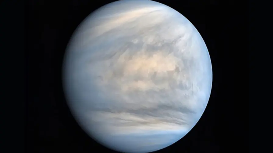
How, then, did a watery Venus turn into a furnace? The likely culprit is a runaway greenhouse effect. Atmospheric models combined with isotopic measurements hint that water loss accelerated less than a billion years ago; once a tipping point is crossed, photodissociation and hydrogen escape can rapidly drain a planet of its oceans and leave behind the dense, hot, carbon-dioxide atmosphere we see today.
Why this matters for Earth and beyond
Understanding Venus’s climate and water history is more than an exercise in planetary archaeology. It provides a real-world example of how a terrestrial planet similar to Earth in size and bulk composition can diverge dramatically. That has immediate relevance to assessing habitability for exoplanets and for anticipating long-term outcomes of Earth’s own climate trajectory.
Testing the ocean hypothesis will require new eyes. Two upcoming missions, the European Space Agency's EnVision and NASA's VERITAS, are slated to produce higher-resolution radar maps, gravity data, and spectral information that can probe surface composition and subsurface structure. Those datasets could confirm whether polygonal fields are compacted marine sediments, whether canali are truly submarine channels, and whether evaporite layers sit beneath folded terrains.
Expert Insight
"We are rewriting the biography of a planet we thought we understood," says Dr. Maya Thompson, a planetary geologist at the Institute for Planetary Sciences. "If Venus once had seas covering most of its surface, it becomes a laboratory for how climates flip. It tells us what to watch for when we look at distant rocky worlds and what mechanisms can permanently alter habitability."
Final takeaway: Venus may have been an ocean world, and new missions will soon test that bold possibility.
Conclusion
The new interpretation does not close the case. But it opens a richer set of questions about Venus’s past environments and their timelines. Radar maps that once seemed to record only lava flows might instead be pages from a drowned chapter. Whether those seas ever hosted life is unknown, and for now remains speculation. The coming decade of exploration, with targeted orbital studies, promises to either confirm a lost ocean world or force yet another rethink of one of our closest planetary neighbors.


“The cosmos has always fascinated me. I write about space missions, astronomy, and the technologies pushing humanity beyond Earth.”

Discussion
Leave a Comment
Comments
No comments yet. Be the first.