
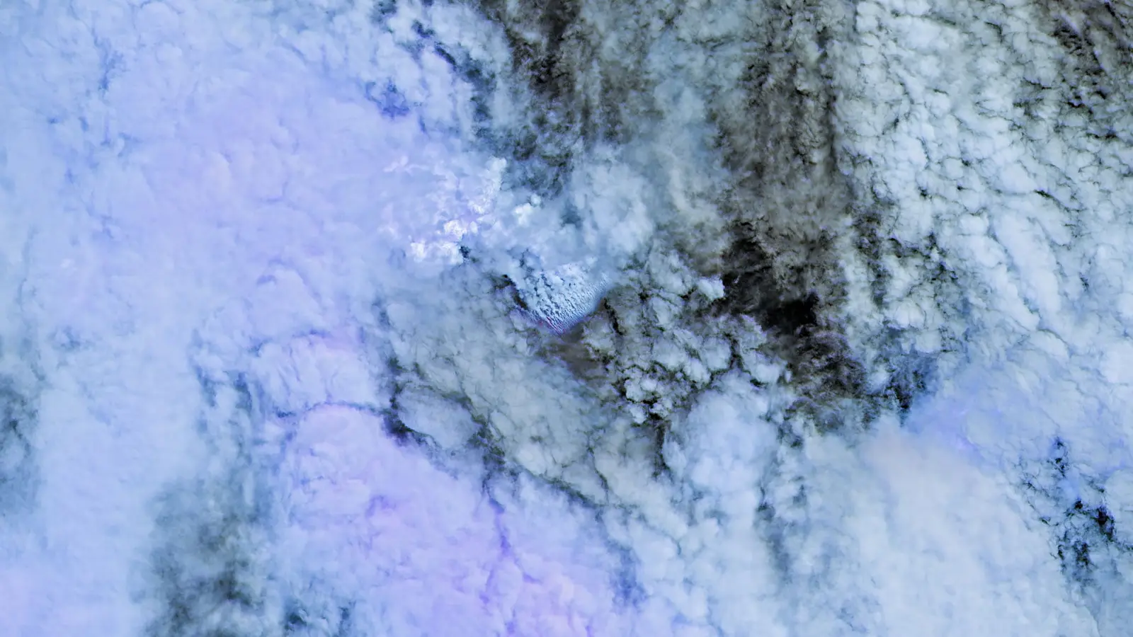
White steam and dark streaks on the ocean surface. Floating pumice stretching like a trail of breadcrumbs. From orbit, the Bismarck Sea looks restless — and scientists watching the data say something new may be forming where maps are thin and questions are many.
How satellites first flagged the event
Seismometers gave the earliest hint: a small cluster of earthquakes on May 8. But it was space-based sensors that turned a murmur into a clear signal. Within 24 hours, NASA’s Aqua and Terra satellites photographed bright, steam-rich plumes rising from the Central Bismarck Sea. PACE’s ocean color instruments showed discolored, disturbed water, and high-resolution platforms captured ash and thermal anomalies. On May 12, VIIRS aboard Suomi NPP recorded heat signatures spread across an area roughly seven square kilometers.
Sentinel-2 and Landsat 9 added detail, including false-color views that emphasized the infrared signal of hot material near the surface. Those thermal hotspots, seen by multiple instruments, imply that magma — or large volumes of heated ejecta — are reaching shallow depths. "There must be a lot of hot material near the surface to generate so many thermal anomalies," volcanologist Simon Carn of Michigan Tech told reporters, arguing the evidence points to a relatively shallow vent compared with older bathymetric maps that suggest hundreds of meters of water above seafloor features.
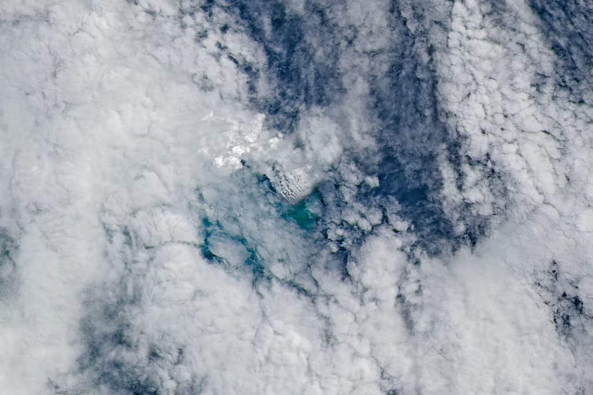
Closely spaced volcanic plumes, surrounded by clouds, stream from a growing underwater volcanic platform in this natural-color image captured by the OLI (Operational Land Imager) on Landsat 9 on May 11, 2026, three days after the eruption began. The right image emphasizes the infrared signature of the eruption.
Why the Bismarck Sea surprises researchers
It’s easy to forget that much of Earth’s seafloor remains poorly resolved. Planetary scientists enjoy higher-resolution maps of the Moon and Mars in places than we have for some ocean basins. The Central Bismarck Sea exemplifies that gap: complex topography, faults, ridges, and subduction-related features all lie beneath deep water, and detailed sonar surveys are sparse.
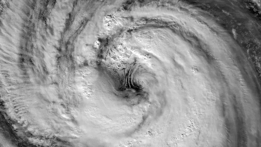
The current eruption appears to be associated with Titan Ridge, about 16 kilometers southeast of a submarine event recorded in 1972. But which vent is active, how deep it sat before activity began, and when it last erupted remain unsettled questions. Bathymetric charts suggest several hundred meters of water in places; the satellite signals argue otherwise. That mismatch matters. If the vent is shallow, interactions between magma and seawater may produce different eruption styles and hazards than a deep submarine eruption.
Optical imagery also shows broad pumice rafts — large clumps of floating volcanic rock that spew out during explosive underwater eruptions and then drift with currents. These rafts trace surface flows and can travel long distances, offering a surface record of otherwise invisible seafloor processes.
Could a new island really appear?
Satellite photos reveal vigorous surface activity: discolored water, steam and ash vents, and pumice spreading along currents. That combination raises an exciting possibility. When enough material accumulates and holds together, an emergent landform can appear. "We’re now eagerly waiting to see if a new island is about to be born — something that we’ve only rarely been able to observe with satellites as it happens," said Jim Garvin, chief scientist at NASA’s Goddard Space Flight Center.
If new land does break the surface, what comes next will determine whether that land endures. A tuff cone — a steep-sided volcanic feature formed from ash and fragmented material — could persist for years to decades, allowing scientists to study early ecological succession, chemical weathering, and erosion. Or the nascent island could slump back into the sea within days or weeks if it is unconsolidated and wave-washed.
Explosive activity appears limited so far. This eruption is not behaving like the 2022 Hunga Tonga Hunga Ha’apai blast, which blasted ash and steam to the stratosphere. The setting near a volcanic ridge, at the junction of a transform fault and a back-arc spreading center, tends toward less violent eruptions than those generated by subduction-zone stratovolcanoes. Spreading centers typically produce basaltic melts that interact with water differently and drive less explosive fragmentation.
How long the eruption lasts is uncertain. Historical events in the region have ranged from brief, four-day bursts to prolonged activity lasting years. The 1972 nearby eruption was short-lived; a separate event in the St. Andrew Strait in 1957 continued for nearly four years. That range forces researchers to prepare for multiple scenarios.
Technologies and methods being used to monitor changes

Remote sensing is leading the way. Optical and infrared imagers detect plumes and heat. Ocean color sensors map discoloration and suspended ash or pumice. Radar satellites like NISAR and RADARSAT can map topography independent of clouds and daylight, and researchers plan to compare radar datasets to detect any newly emergent land and measure how its shape evolves over days to months.
Ship-based surveys and multibeam sonar would provide the definitive bathymetry, but rough seas and the remoteness of the site complicate rapid mobilization. In the meantime, government and commercial satellite constellations offer frequent revisits and complementary spectral bands, enabling a near-real-time picture of surface manifestations even when in-situ access is limited.
There is scientific value beyond geology. If an island stabilizes, it becomes a living laboratory for ecological colonization. After Hunga Tonga Hunga Ha‘apai, researchers observed how microbes, plants, and birds begin to occupy and transform fresh volcanic substrate. Those processes may unfold differently here, influenced by latitude, ocean currents, and the composition of erupted material.

Floating pumice and green, discolored water extend southwest from the eruption site as a white volcanic plume drifts west overhead in this image acquired by the MODIS (Moderate Resolution Imaging Spectroradiometer) on NASA’s Terra satellite on May 15, 2026.
Expert Insight
"Events like this are rare opportunities," said Dr. Elena Morales, a marine volcanologist who has studied submarine eruptions in the Pacific. "Satellites give us the first acts of the story; ships and divers, when they can get there, read the fine print. If a new island forms and survives initial wave erosion, it can teach us about how quickly life can colonize sterile rock and how chemical weathering proceeds in a marine environment."
She added that monitoring pumice rafts is also practical: "Pumice acts as a natural tracer of surface currents. Tracking its drift helps us infer near-surface flows and potential hazards for shipping, while also highlighting pathways for organism dispersal across ocean basins."
Conclusion
The Central Bismarck Sea eruption is a reminder of how much remains unknown beneath the waves and how indispensable satellites are for modern volcanology. From thermal anomalies to pumice rafts, orbital sensors have turned a remote and murky event into something scientists can watch unfold in near real time. Whether this episode ends with a new, durable island or a brief, spectacular plume of pumice, researchers stand ready to learn. The real work begins when radar maps, ocean surveys, and field teams fill in the gaps left by coarse bathymetry and give this nascent feature its place on the map.

“The cosmos has always fascinated me. I write about space missions, astronomy, and the technologies pushing humanity beyond Earth.”

Discussion
Leave a Comment
Comments (3)
Pretty balanced take, tbh. Remote sensing doing the heavy lifting but boats and sonar will be the real proof, if an island sticks around that'd be wild
is this even true tho? satellites show heat, discolored water, bathymetry is coarse, could sensors be fooled or is magma really that shallow? curious
wow, satellites letting us watch an island form in near real time? chills. Pumice trails like breadcrumbs, steam plumes everywhere… science movie stuff, i'm hooked